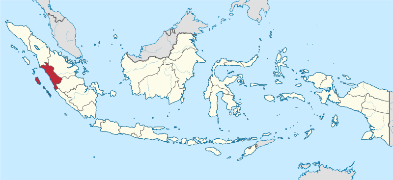
Litratu:West Sumatra in Indonesia.svg

Size of this PNG preview of this SVG file: 800 × 367 pixels. Other resolutions: 320 × 147 pixels | 640 × 293 pixels | 1,024 × 469 pixels | 1,280 × 587 pixels | 2,560 × 1,173 pixels | 982 × 450 pixels.
Magåhet mineddong-ña (Atkibu SVG, 982 × 450 na pixels, mineddong atkibu: 793 KB)
Historian atkibu
Yemme' i fecha/ora para un li'e' i atkibu annai annok guihi na momentu.
| Fecha/Ora | Thumbnail | Mineddong | Muna'sesetbi | Komentu | |
|---|---|---|---|---|---|
| pa'go | 17:29, 5 Disiembre 2022 |  | 982 × 450 (793 KB) | NordNordWest | upd 2022 |
| 10:18, 8 Agosto 2021 |  | 982 × 450 (912 KB) | Afrogindahood | Fix on Papua-West Papua border | |
| 08:00, 3 Septembre 2013 | 1,200 × 460 (875 KB) | TUBS | |||
| 09:47, 29 Septembre 2011 | 1,200 × 460 (1.34 MB) | TUBS |
Inachetton dokumento
Tåya' na påhina siha umachetton yan este na atkibu.
Global file usage
The following other wikis use this file:
- Usage on ar.wikipedia.org
- Usage on ast.wikipedia.org
- Usage on az.wikipedia.org
- Usage on ban.wikipedia.org
- Usage on bew.wikipedia.org
- Usage on btm.wikipedia.org
- Usage on ca.wikipedia.org
- Usage on cdo.wikipedia.org
- Usage on cs.wikipedia.org
- Usage on de.wikipedia.org
- Usage on de.wikivoyage.org
- Usage on diq.wikipedia.org
- Usage on en.wikipedia.org
- West Sumatra
- Bayua
- Mount Talang
- Pasumpahan
- Mentawai Strait
- Padang Panjang
- Sijunjung Regency
- Sipora
- Mount Tandikat
- Mount Talakmau
- Mount Singgalang
- Lake Singkarak
- Mount Sago
- Solok
- Tanah Datar Regency
- Batusangkar
- Lake Diatas
- Lake Dibawah
- Dharmasraya Regency
- Lima Puluh Kota Regency
- Pasaman Regency
- Solok Regency
- West Pasaman Regency
- South Solok Regency
- North Pagai
- Template:WSumatra-geo-stub
- South Pagai
- Baso (village)
- Batuhampar
- Sikuai
- Sikakap
- Padang Barat
- Lubuk Basung
View more global usage of this file.


