Litratu:Physical World Map 2004-04-01.jpeg

Size of this preview: 800 × 441 pixels. Other resolutions: 320 × 176 pixels | 640 × 353 pixels | 1,024 × 565 pixels | 1,280 × 706 pixels | 2,560 × 1,412 pixels | 3,715 × 2,049 pixels.
Magåhet mineddong-ña (3,715 × 2,049 na pixel, mineddong atkibu: 1.53 MB, MIME klåsi: image/jpeg)
| Description |
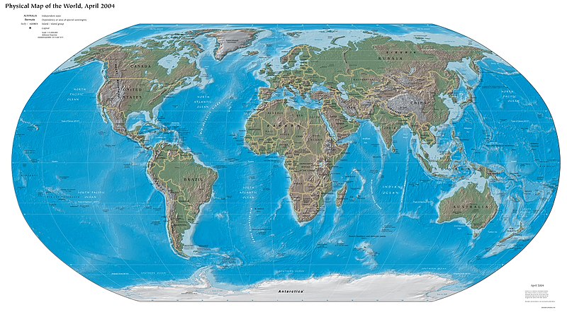
Physical World Map 2004-04-01 CIA World Factbook; Robinson projection; standard parallels 38°N and 38°S |
| Date | |
| Source | CIA World Factbook |
| Creator | |
| Geotemporal data | |
| Date depicted | |
| Map type | Physical |
| Spatial reference system | Robinson projection |
| Scale | 35,000,000 |
| Georeferencing | |
| Bibliographic data | |
| Language | American English |
This image is in the public domain because it contains materials that originally came from the United States Central Intelligence Agency's World Factbook.
|
 |
Historian atkibu
Yemme' i fecha/ora para un li'e' i atkibu annai annok guihi na momentu.
| Fecha/Ora | Thumbnail | Mineddong | Muna'sesetbi | Komentu | |
|---|---|---|---|---|---|
| pa'go | 19:20, 28 Oktubre 2016 | | 3,715 × 2,049 (1.53 MB) | BurritoBazooka | crop huge whitespace (jpegtran -crop 3708x2046+143+371) |
| 14:11, 20 Hunio 2005 |  | 4,000 × 2,949 (1.51 MB) | Ævar Arnfjörð Bjarmason | Physical World Map 2004-04-01 CIA World Factbook; Robinson Projection; standard parallels 38°N and 38°S {{PD-USGov-CIA-WF}} Category:World maps |
Inachetton dokumento
Umachetton i sigiente na påhina yan este na atkibu:
Global file usage
The following other wikis use this file:
- Usage on ar.wikipedia.org
- Usage on ast.wikipedia.org
- Usage on az.wikipedia.org
- Usage on ba.wikipedia.org
- Usage on ba.wikibooks.org
- Usage on cs.wikipedia.org
- Usage on de.wikibooks.org
- Usage on en.wikipedia.org
- Usage on en.wikivoyage.org
- Usage on eo.wikipedia.org
- Usage on es.wikipedia.org
- Usage on ext.wikipedia.org
- Usage on fr.wikipedia.org
- Usage on fur.wikipedia.org
- Usage on io.wiktionary.org
- Usage on kk.wikipedia.org
- Usage on lmo.wikipedia.org
- Usage on lv.wikipedia.org
- Usage on mni.wikipedia.org
- Usage on nds.wikipedia.org
- Usage on ru.wikipedia.org
- Usage on ru.wiktionary.org
- Usage on tg.wikipedia.org
- Usage on tt.wikipedia.org
- Usage on uk.wikipedia.org
- Usage on uz.wikipedia.org